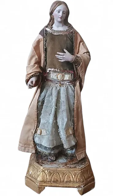


.png)
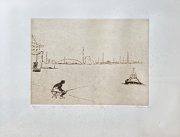
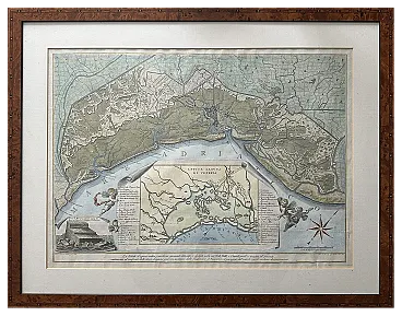
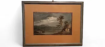
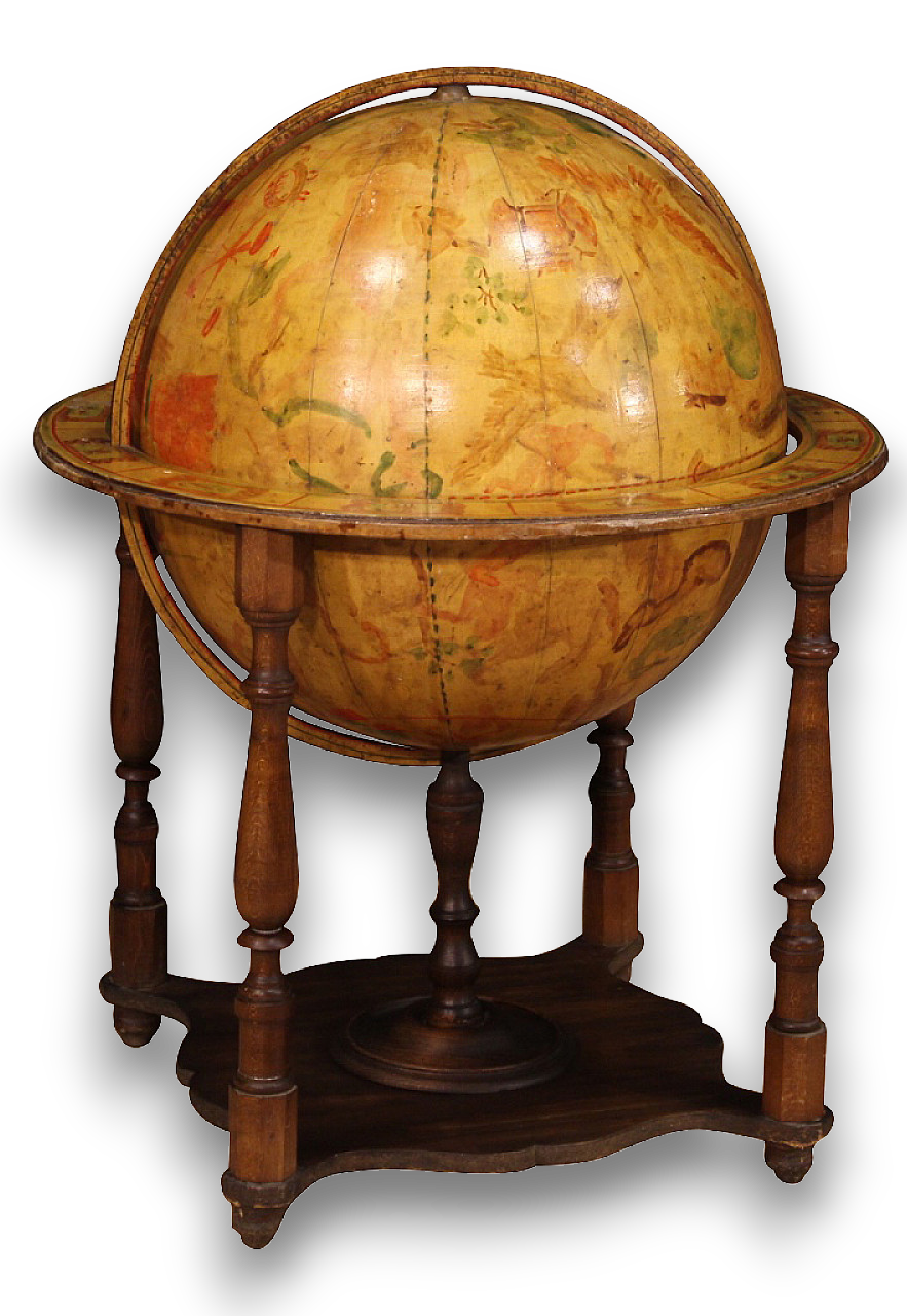
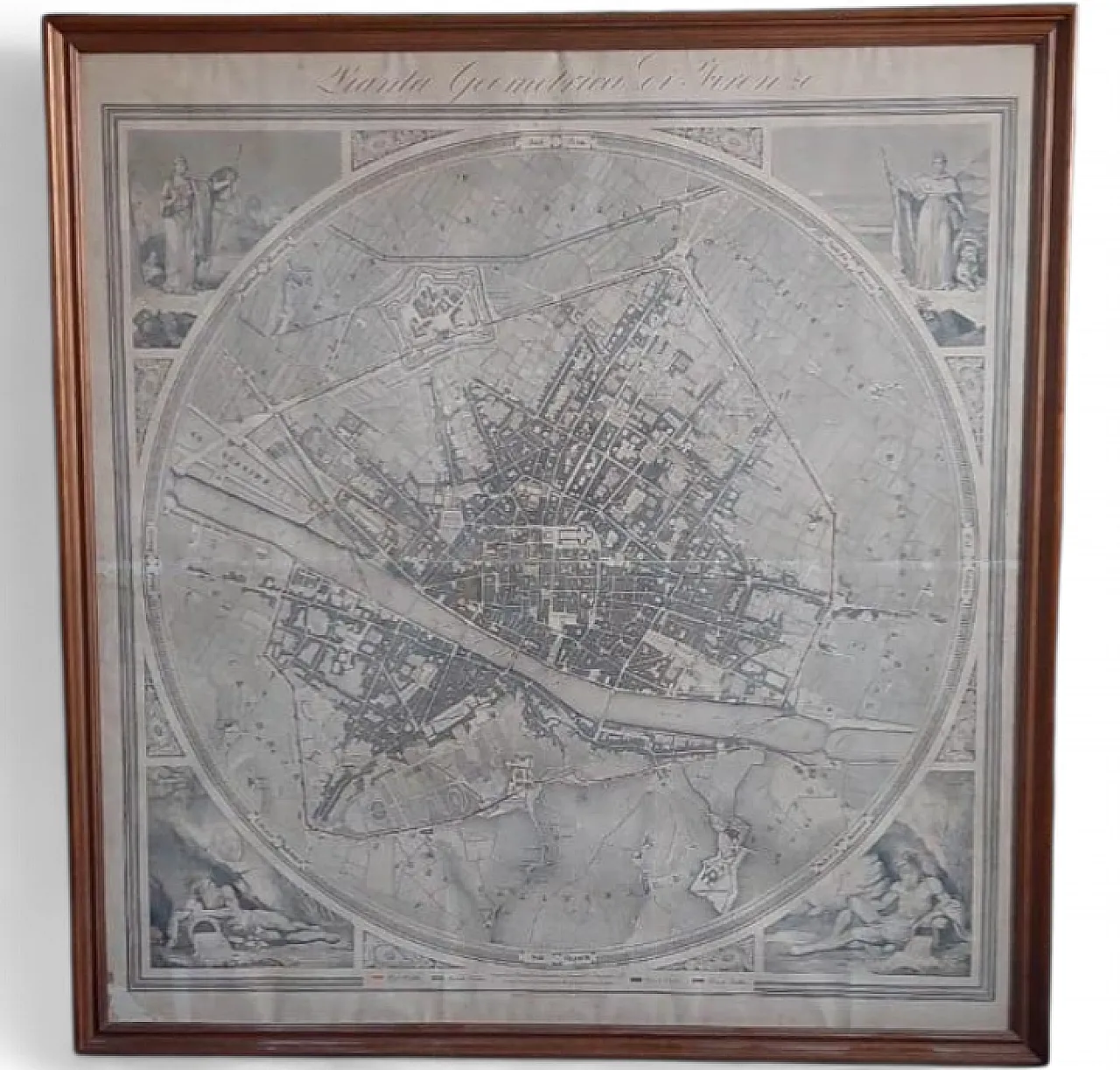
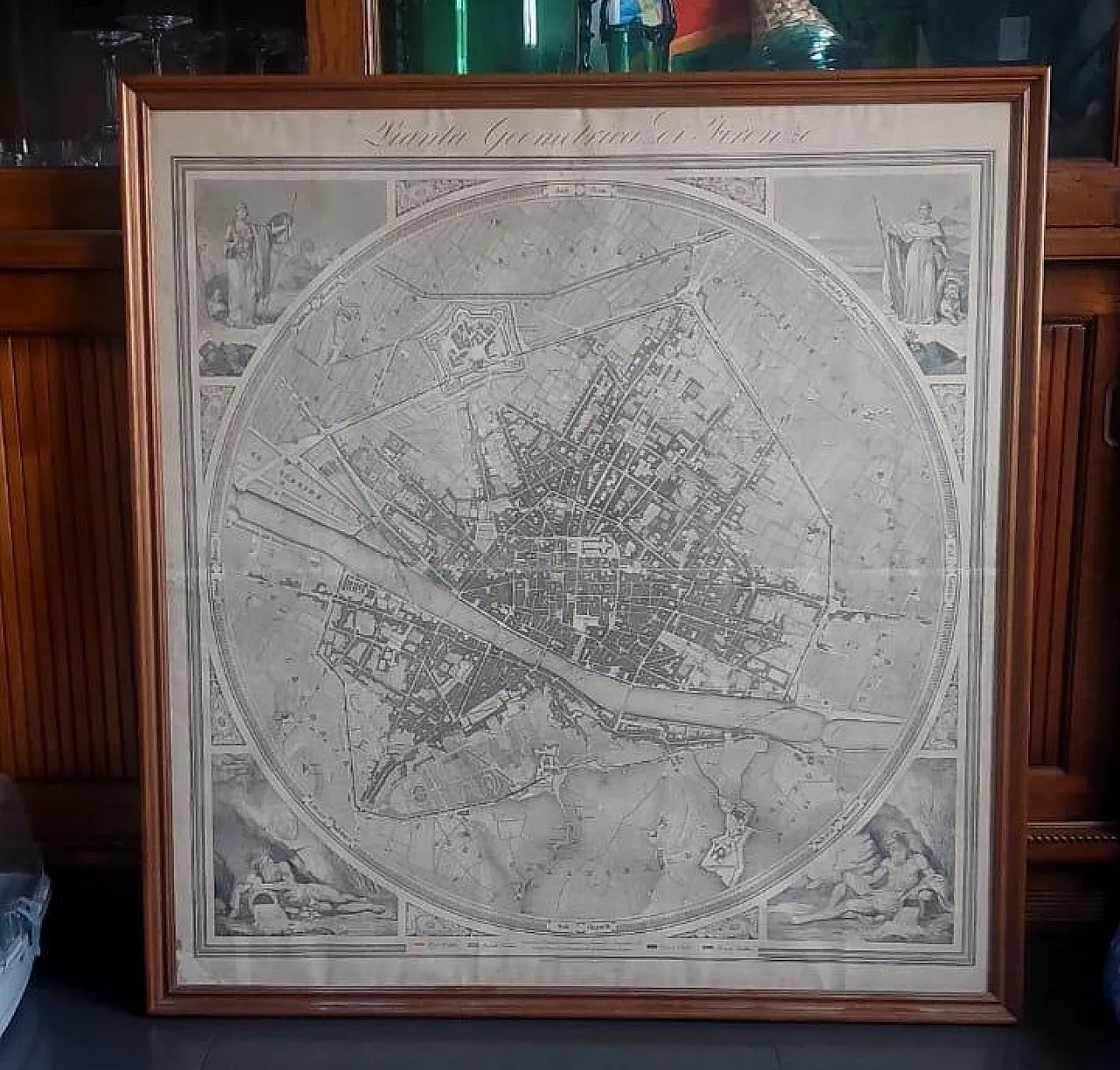
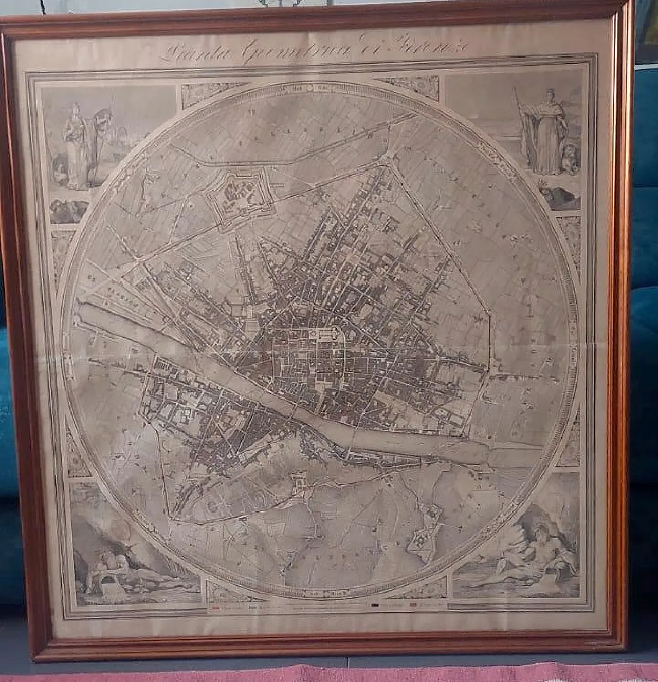
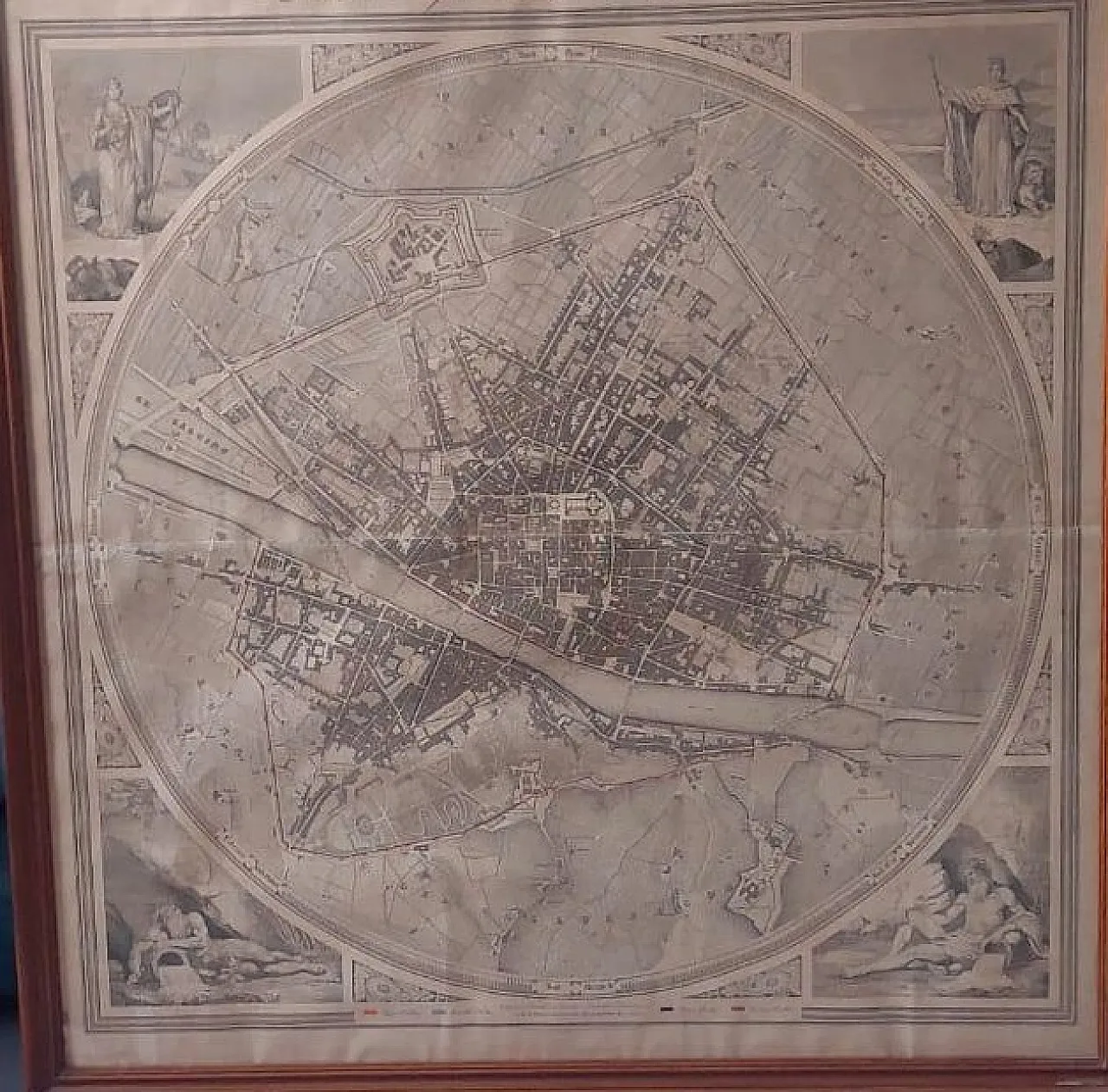
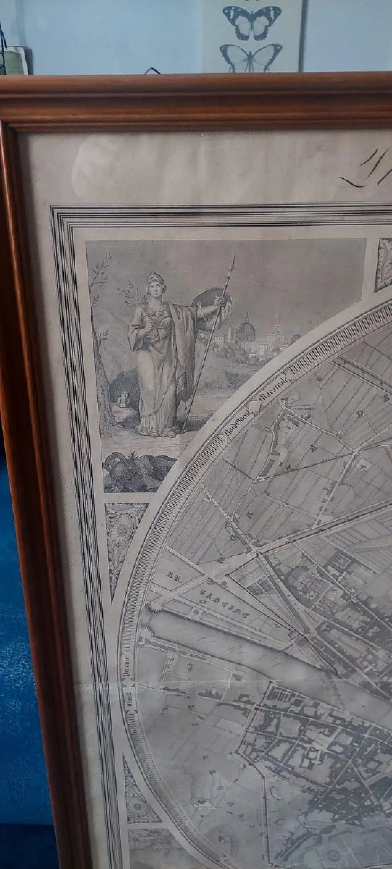
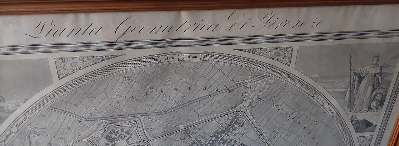
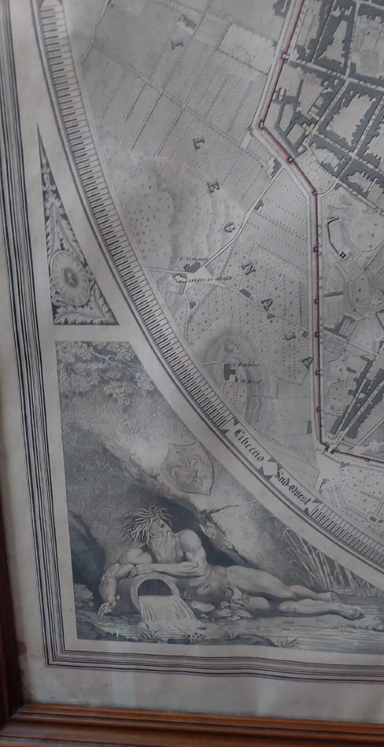
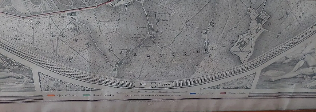
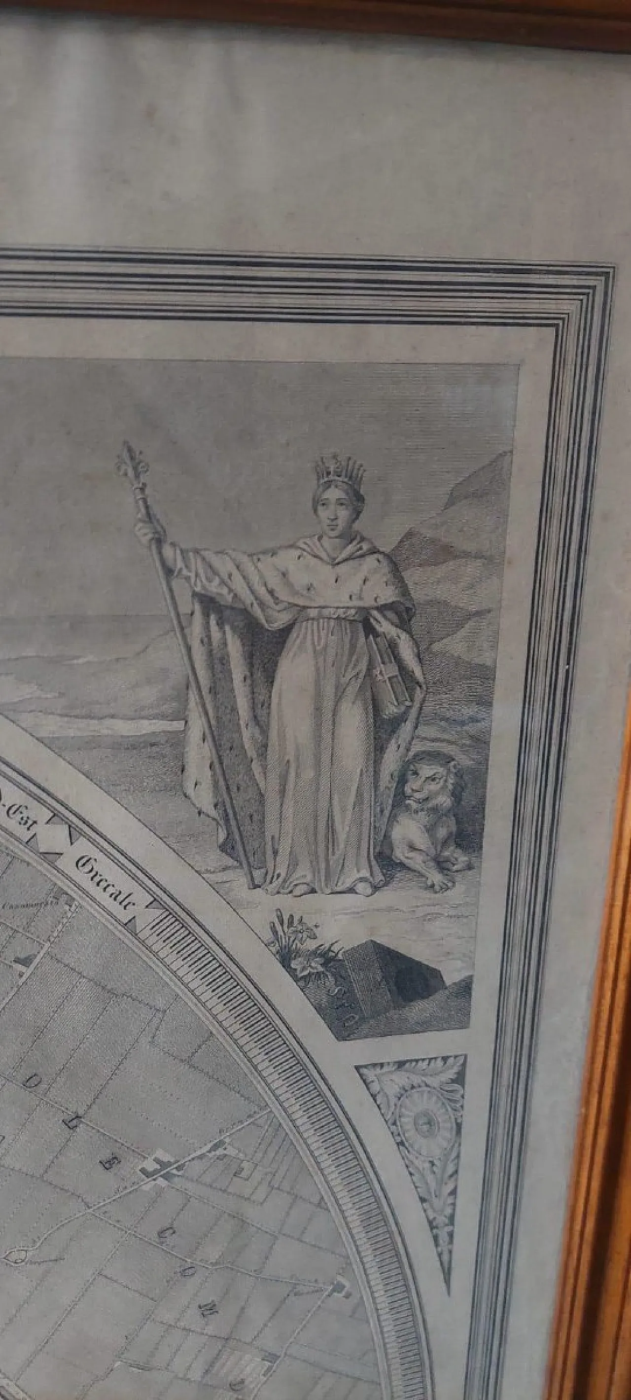
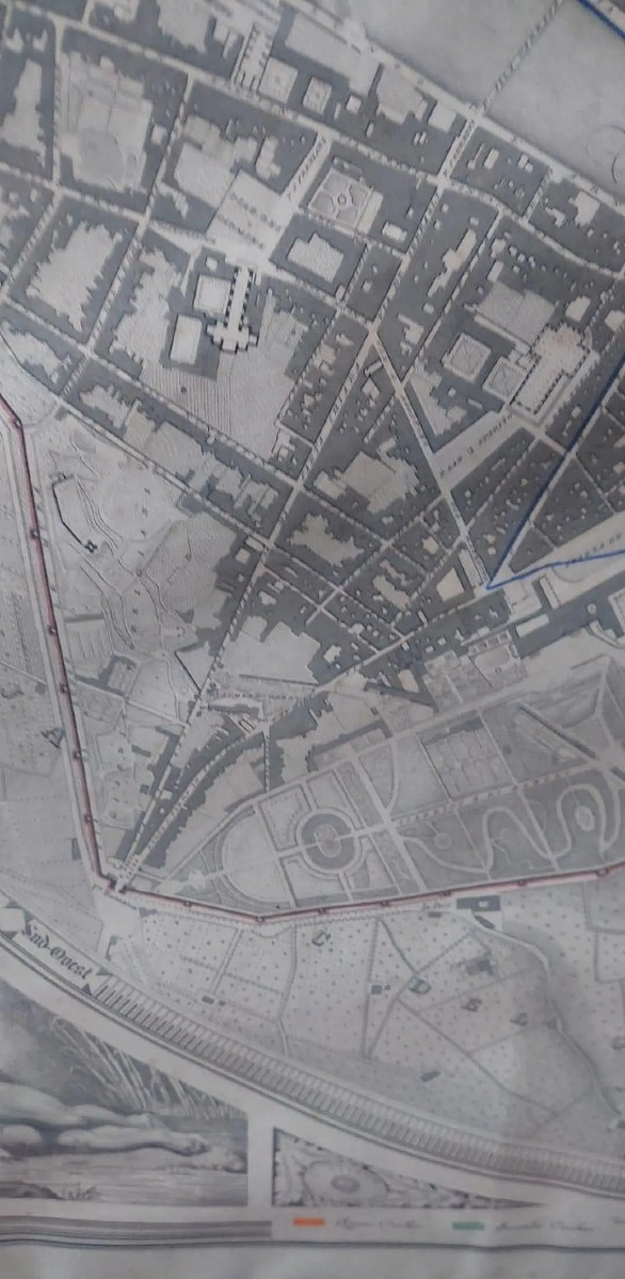
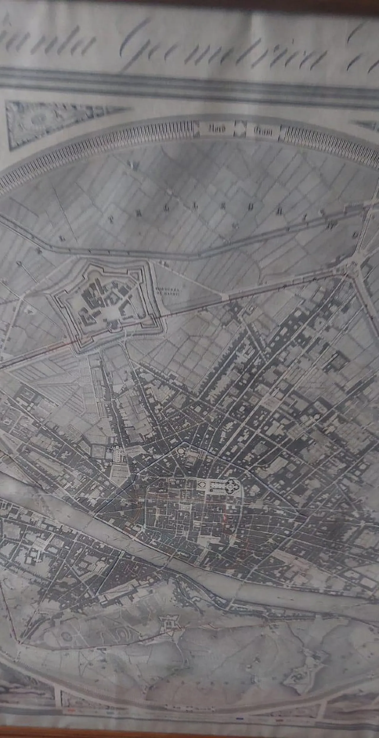
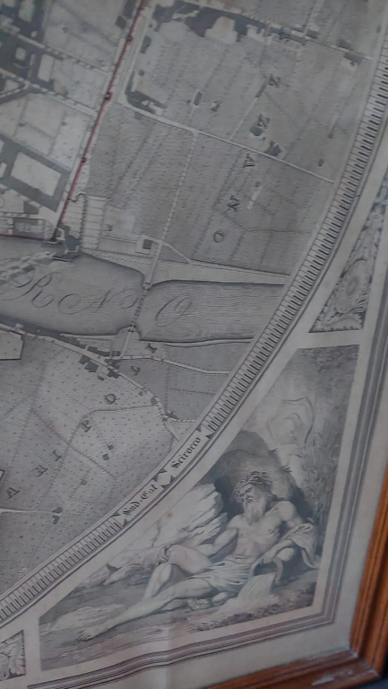
Geometric map of the city of Florence, 19th century
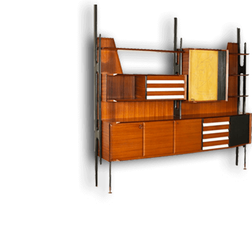
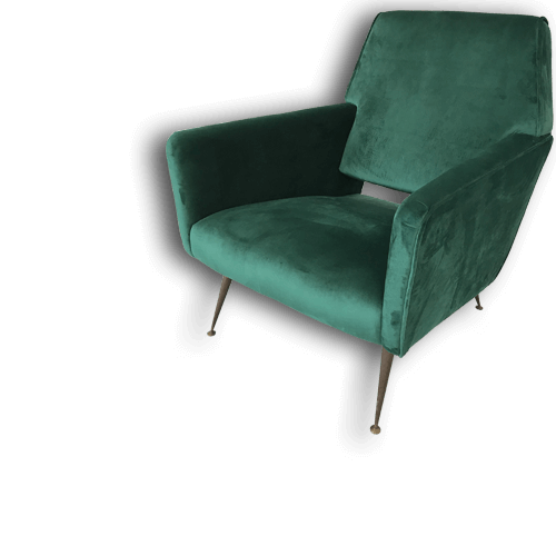
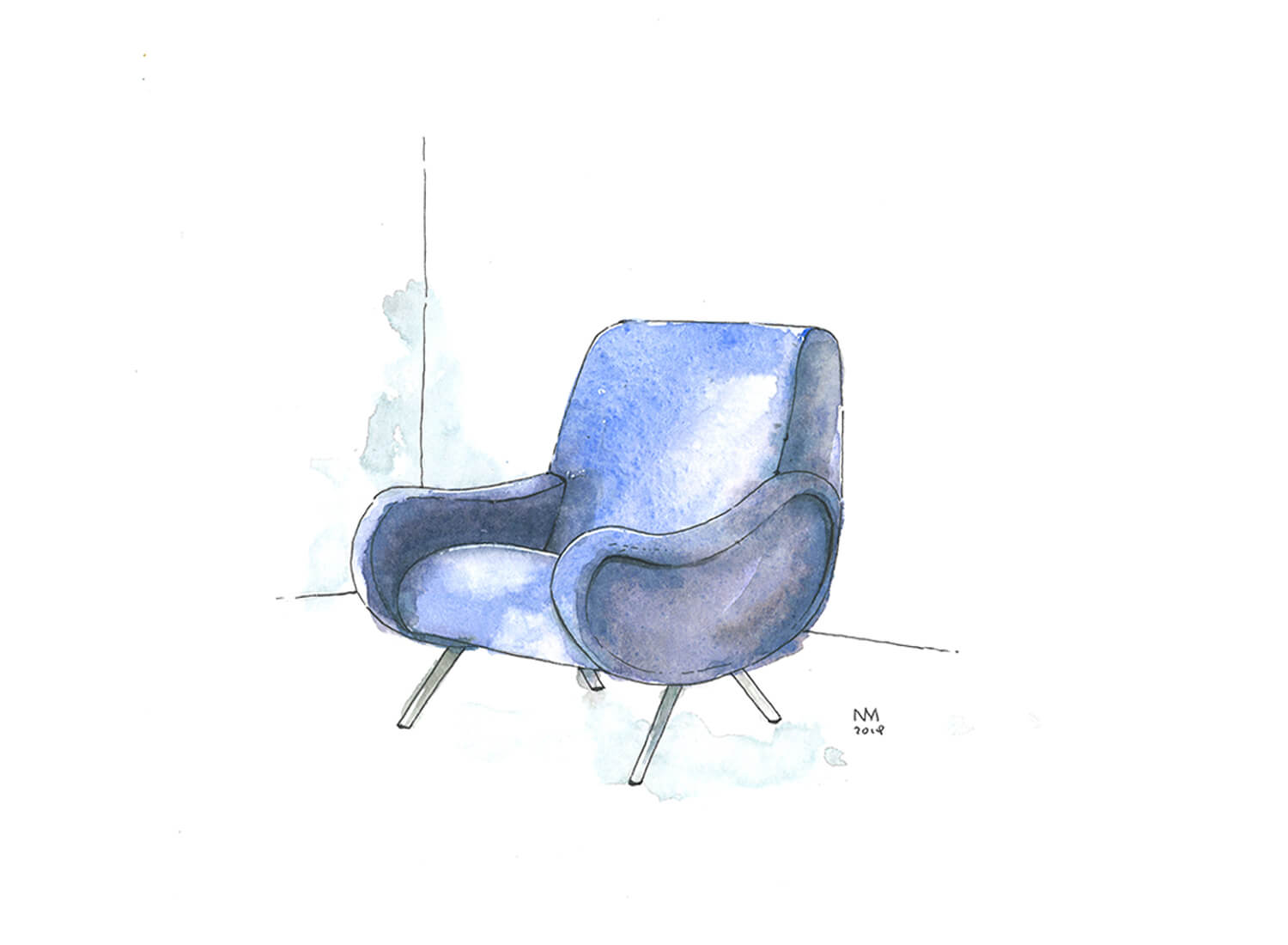
 SILVER Seller in Firenze, Italy