


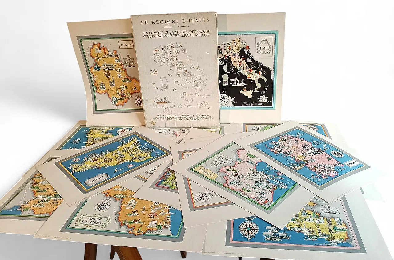
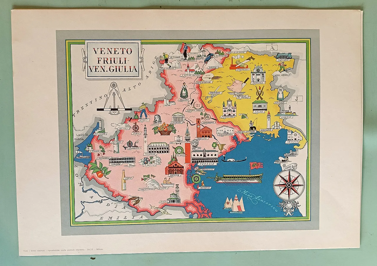
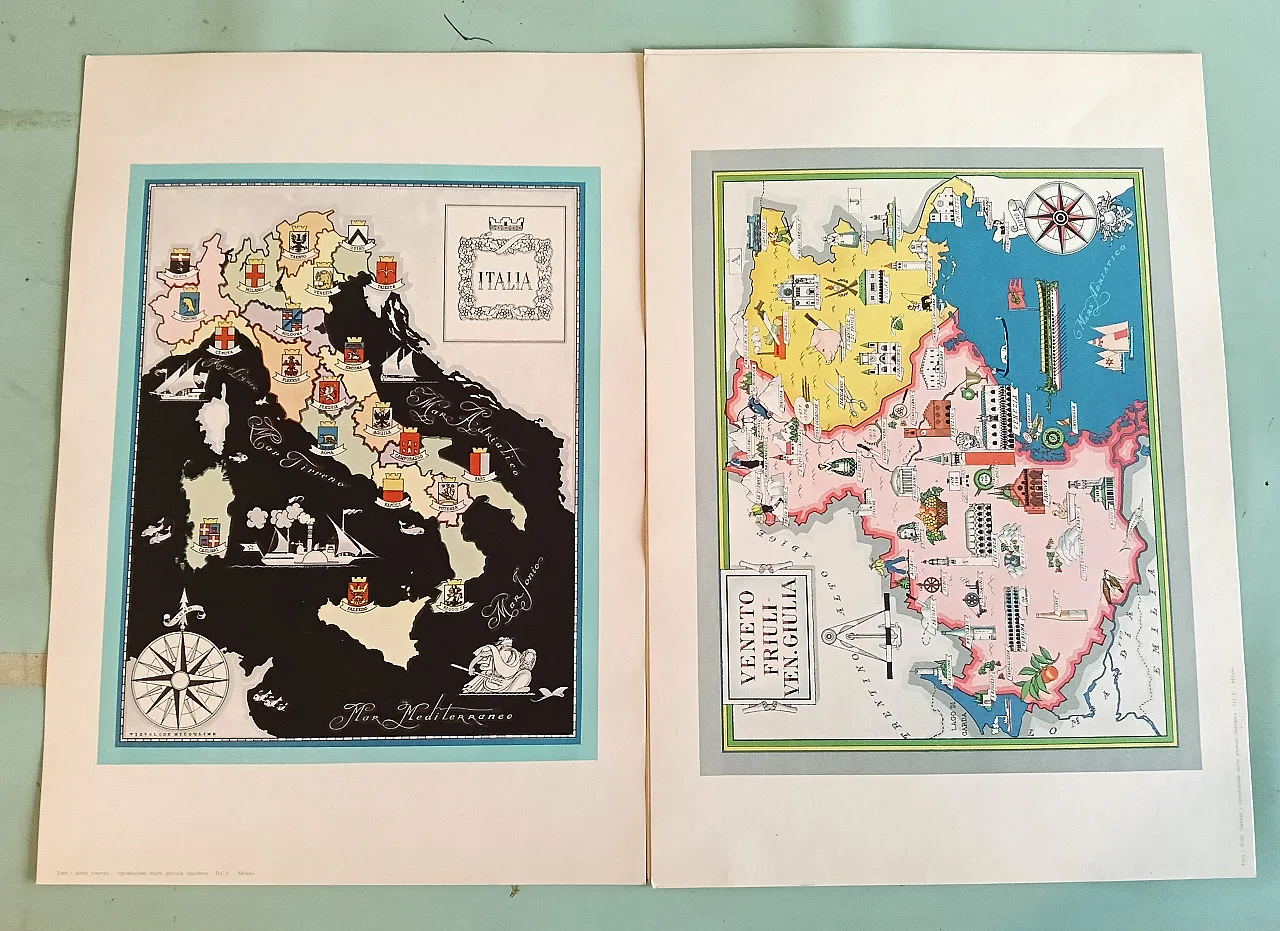
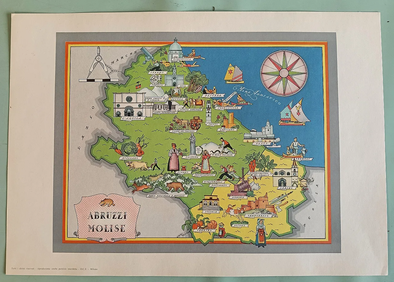
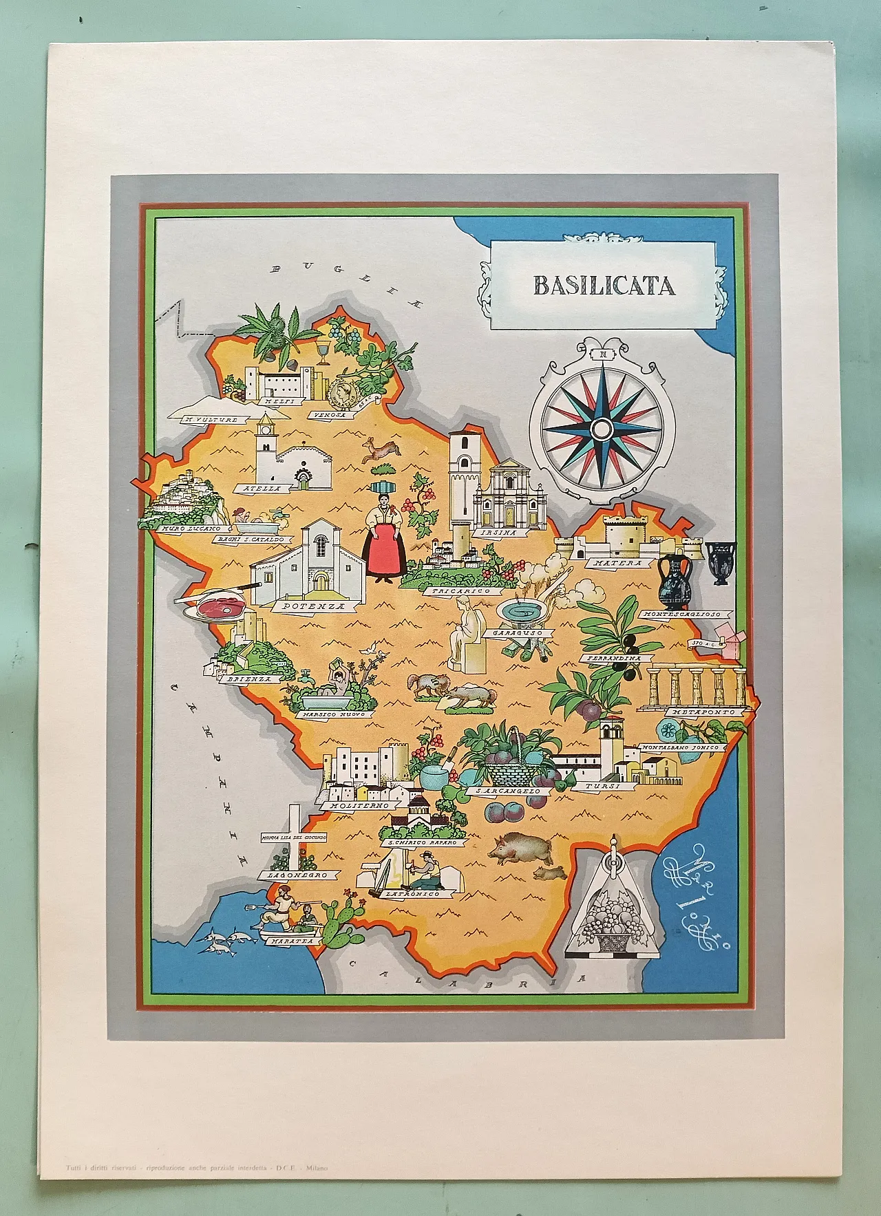
Regions of Italy, maps, 60s


.png)
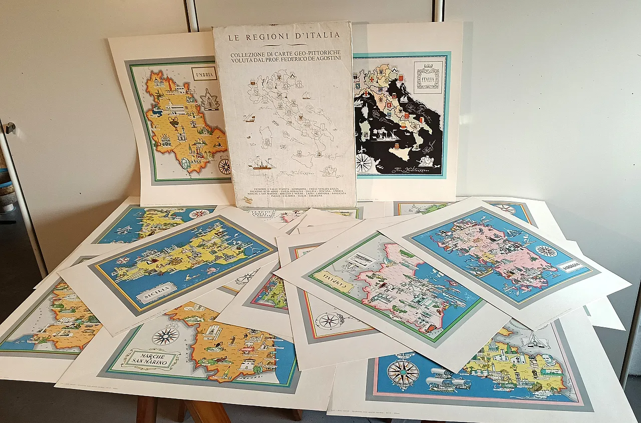
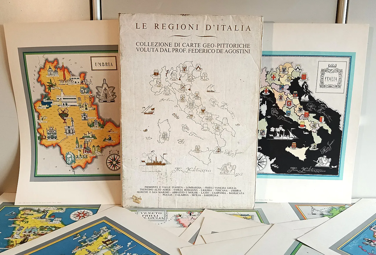
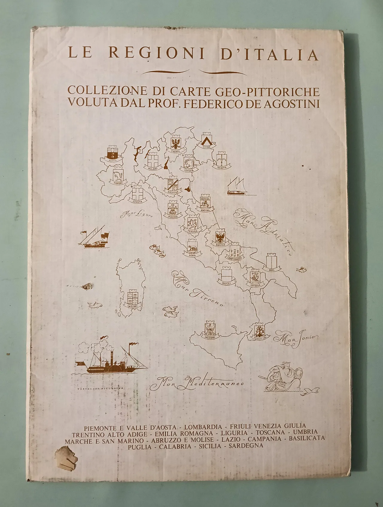
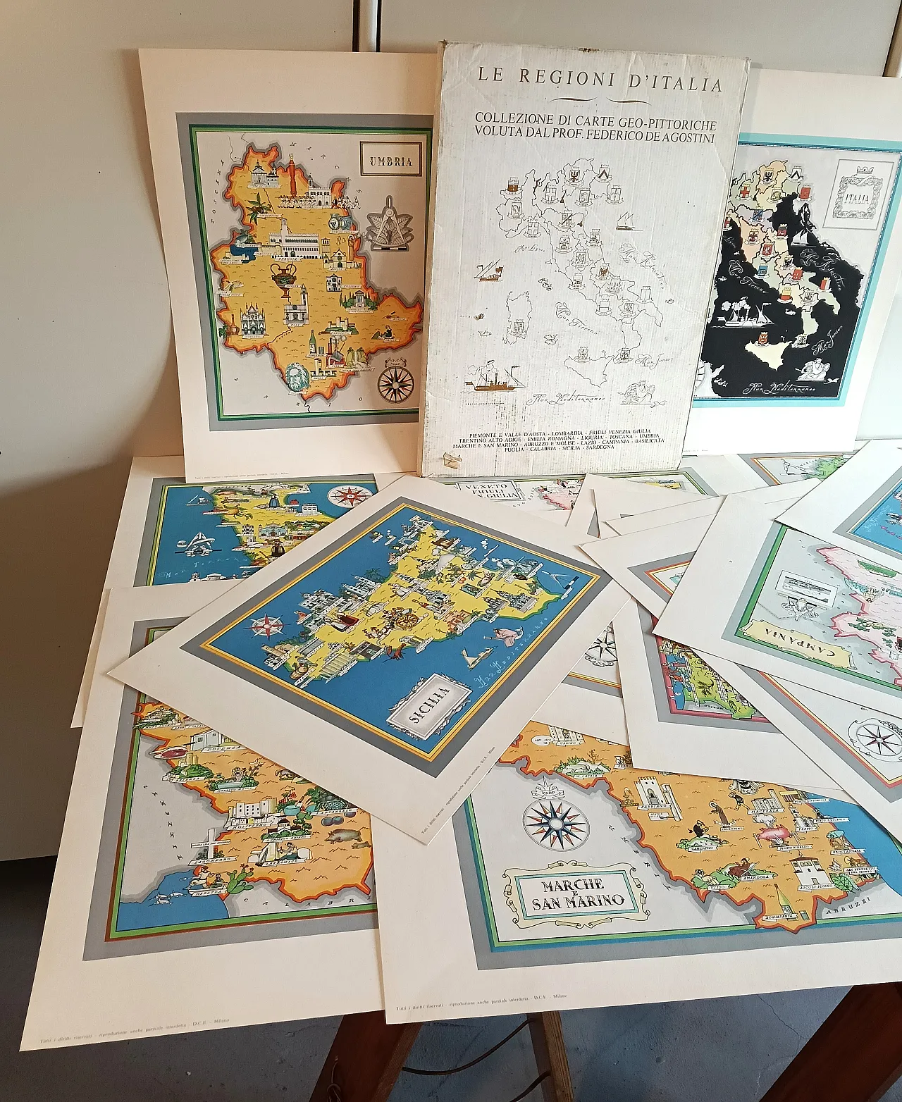
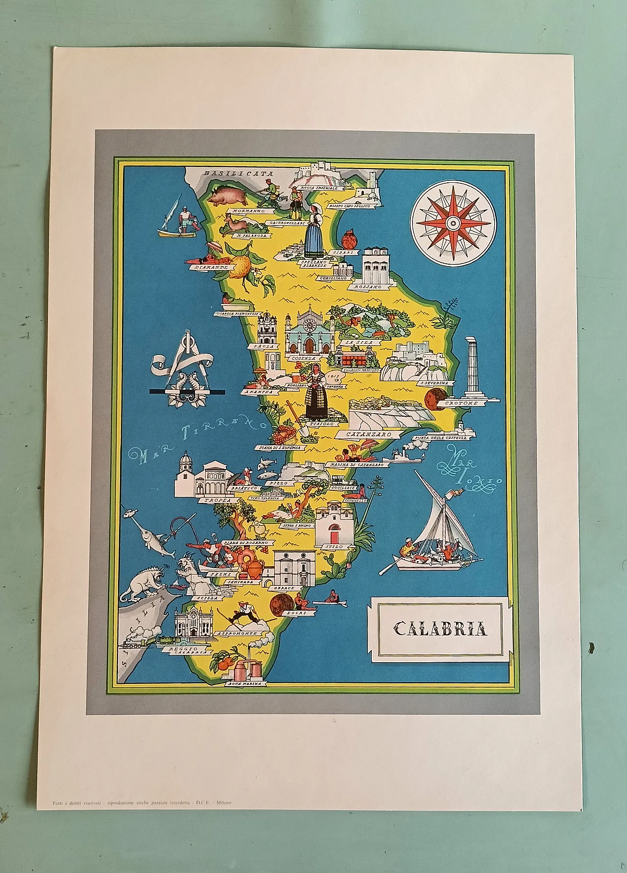
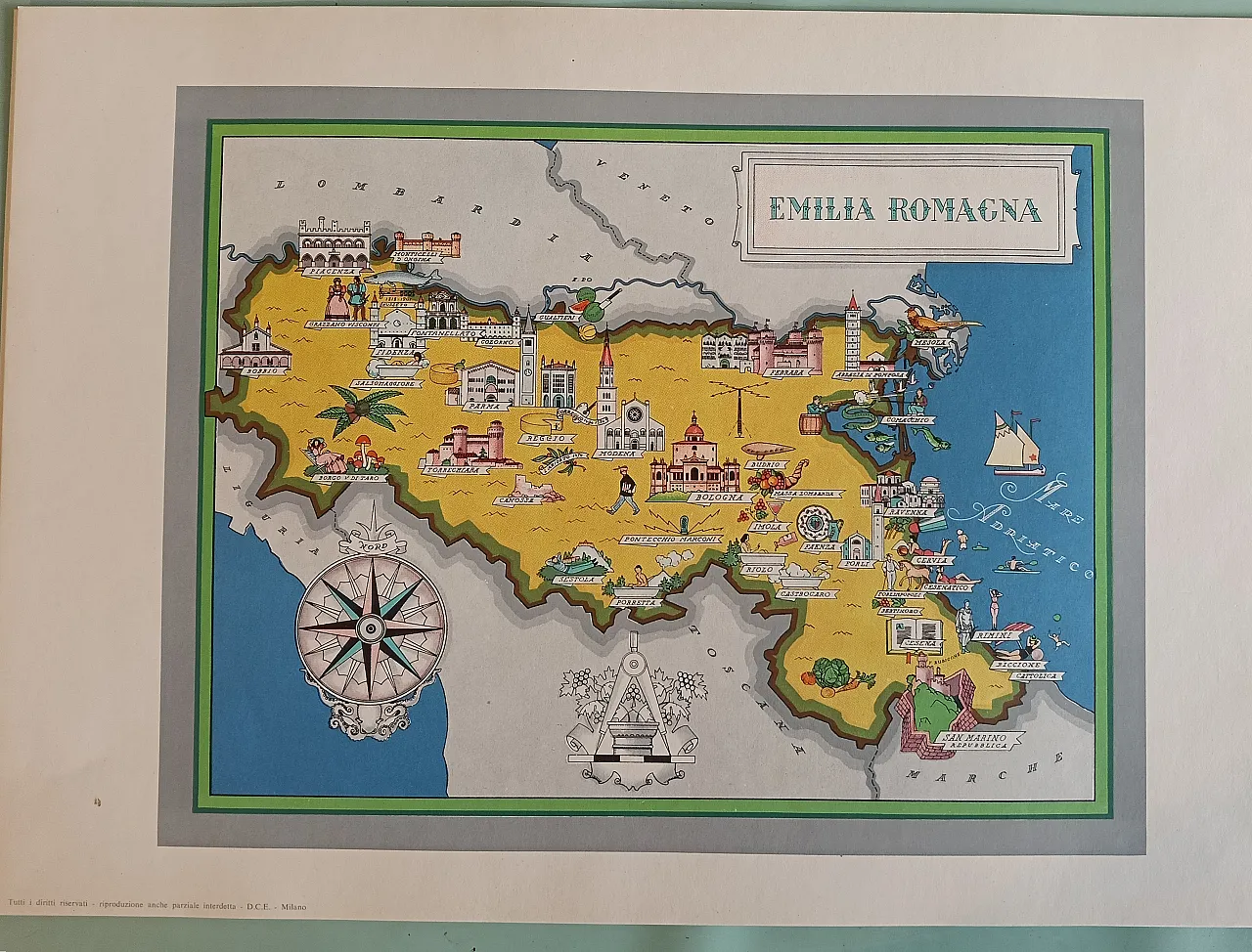
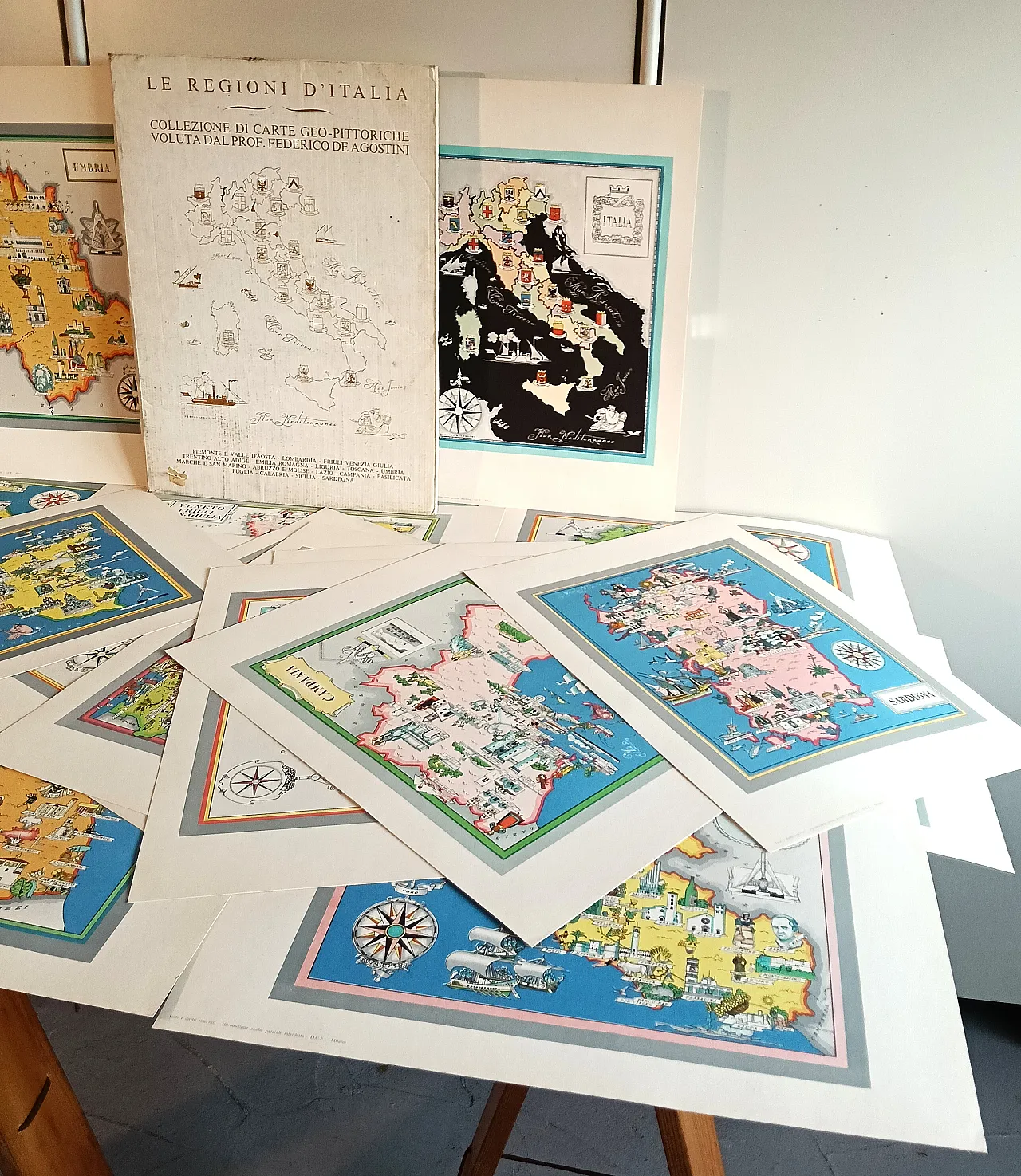
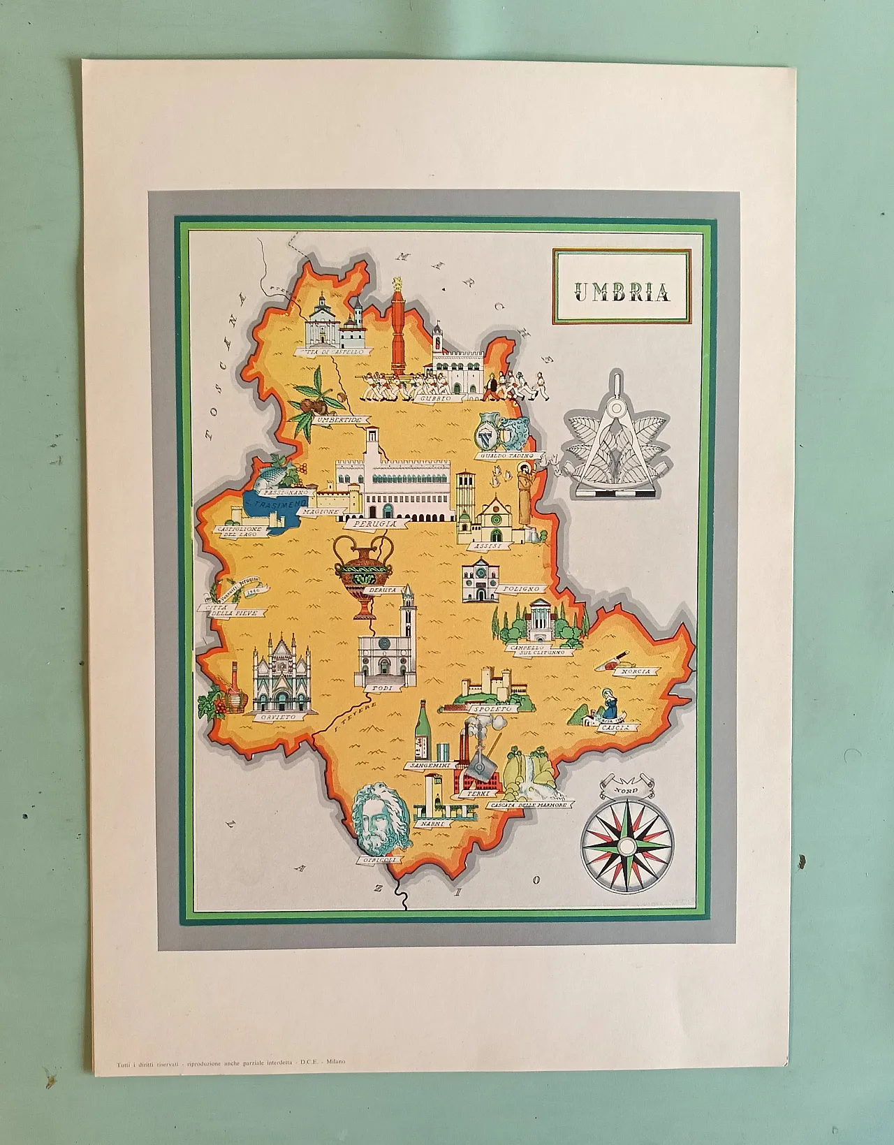
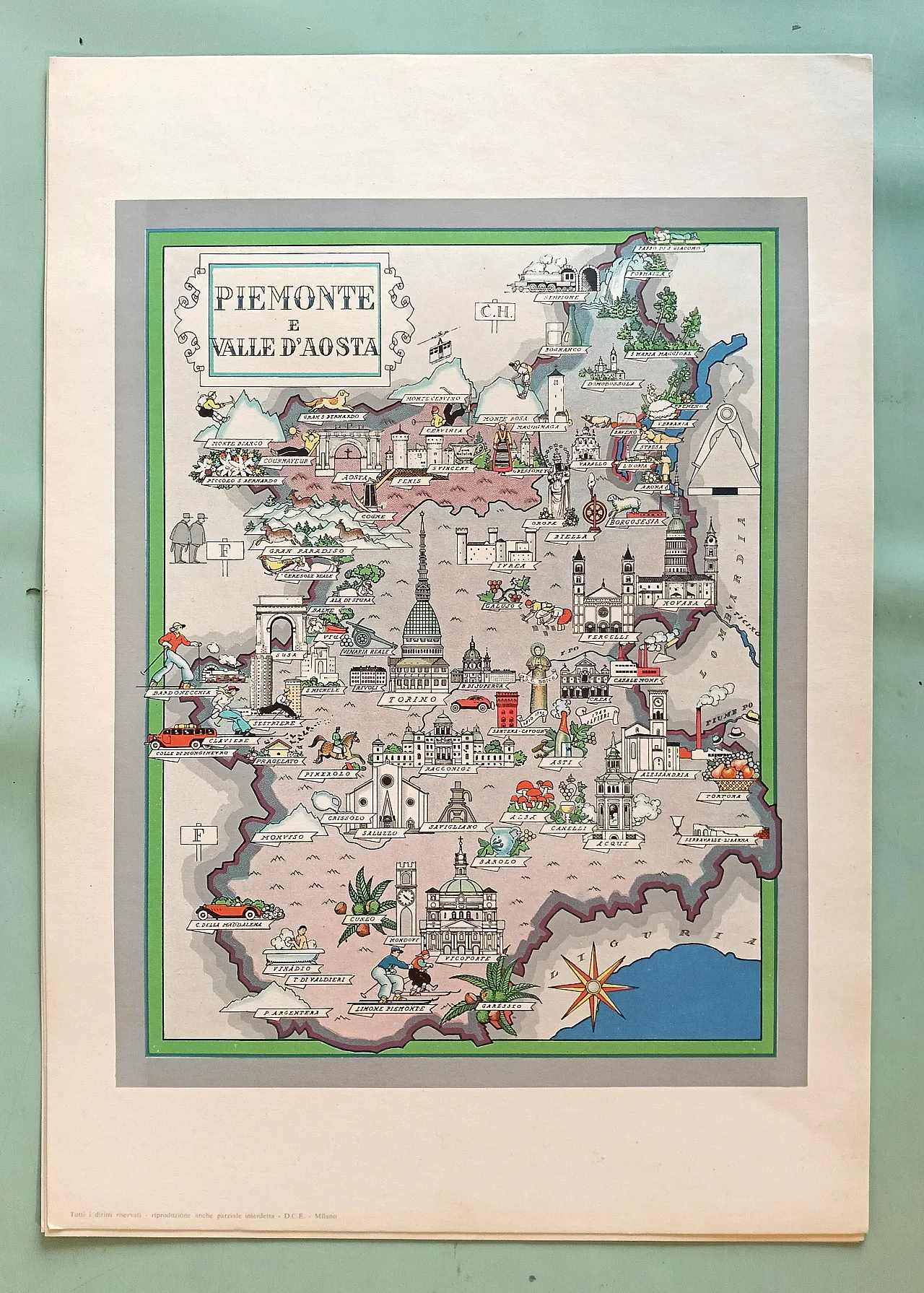
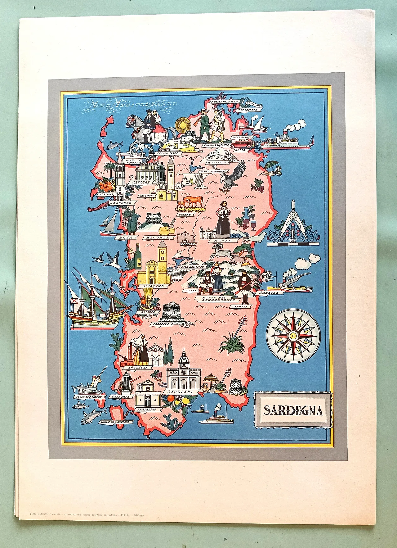
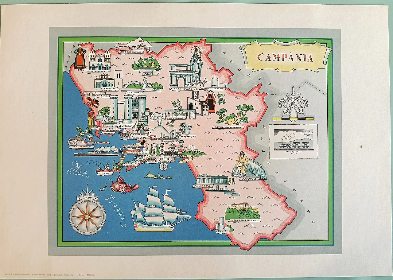
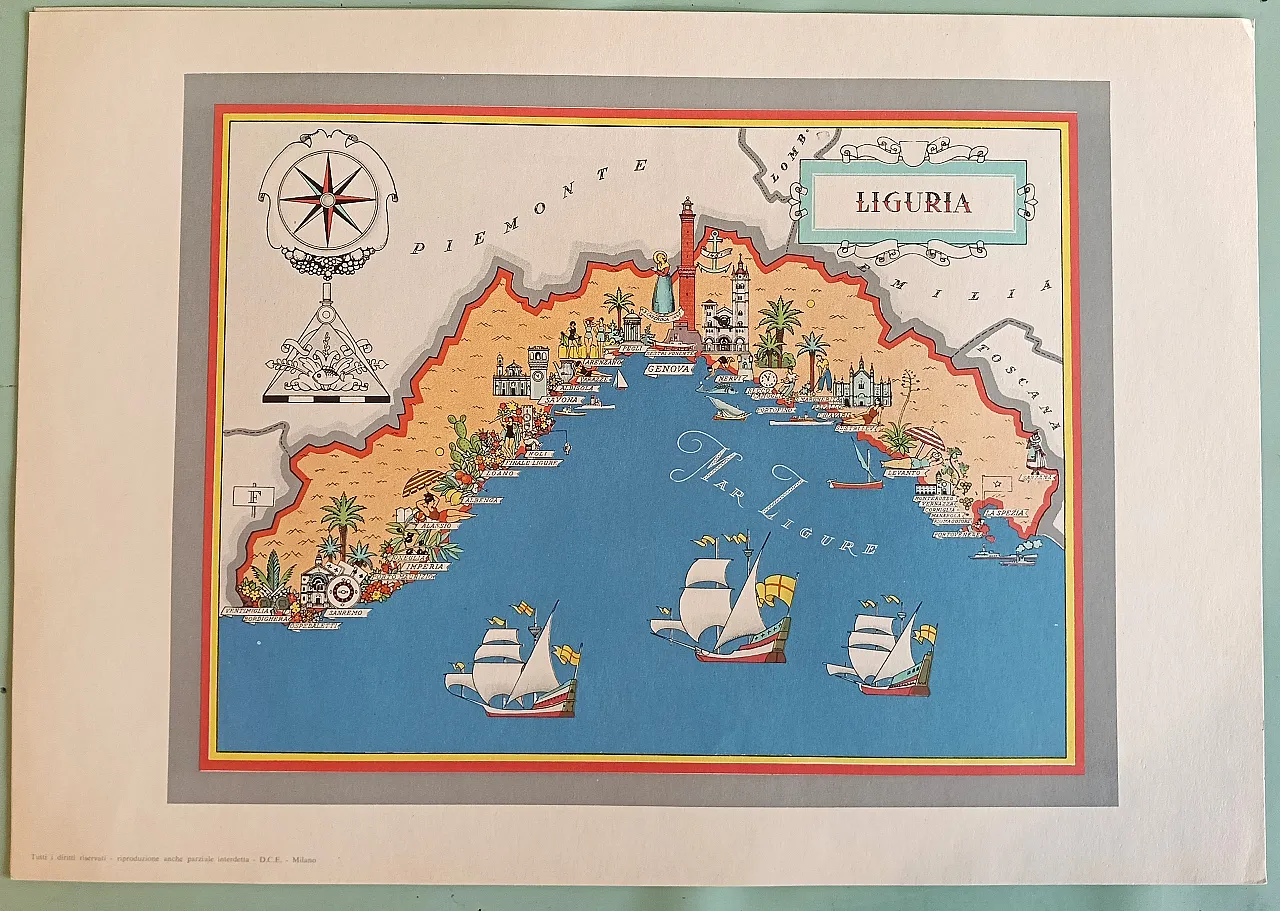
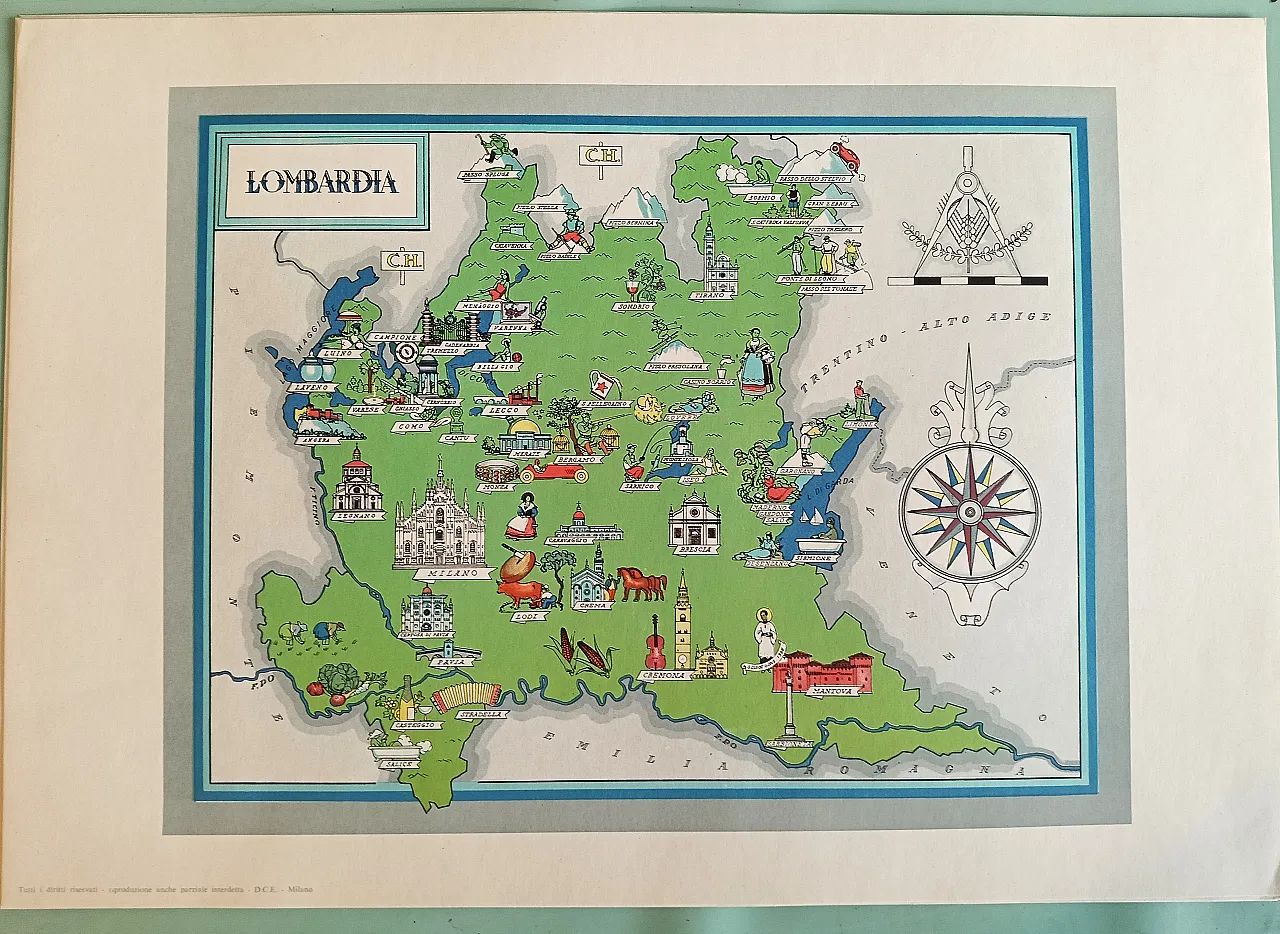
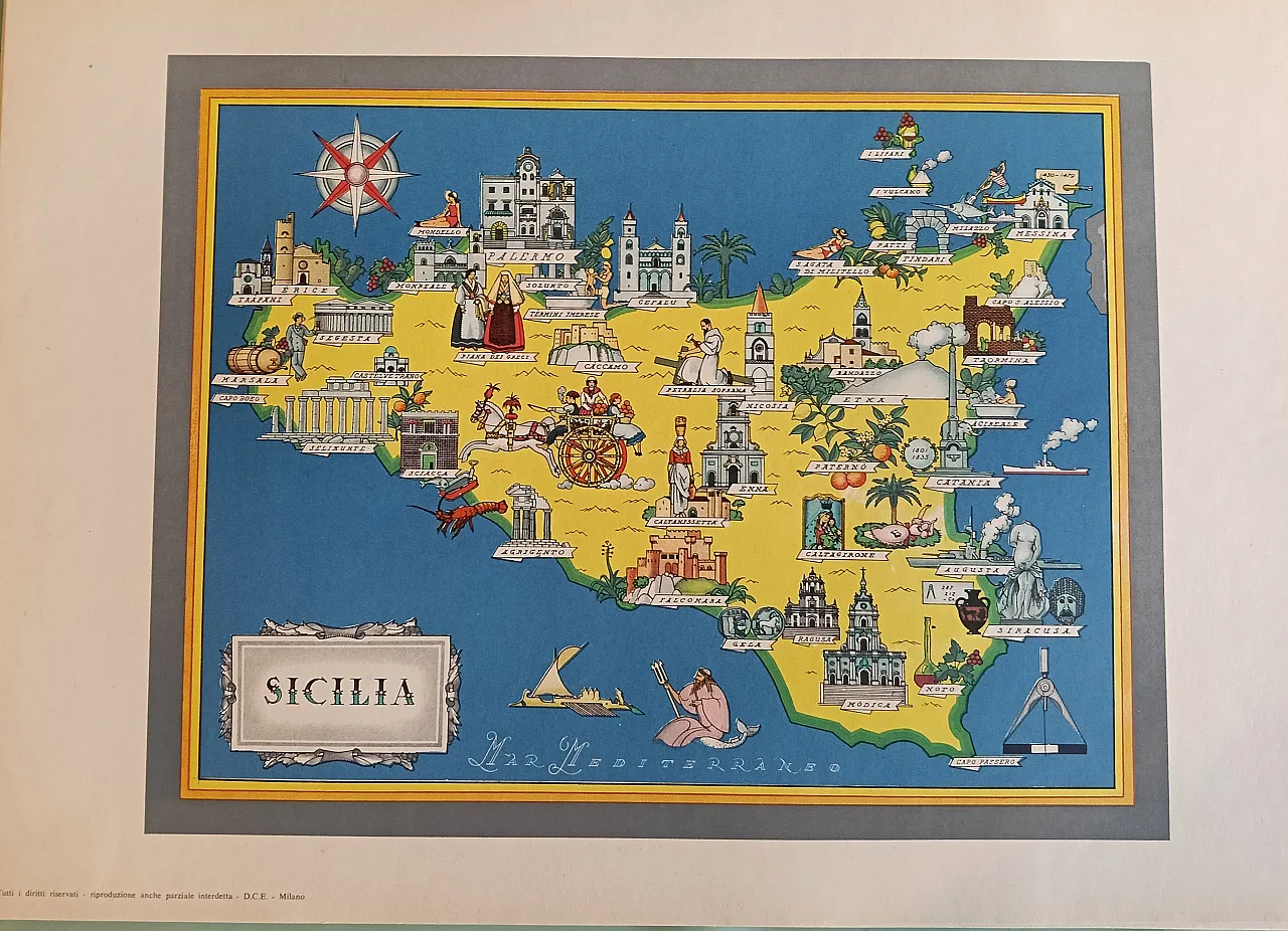
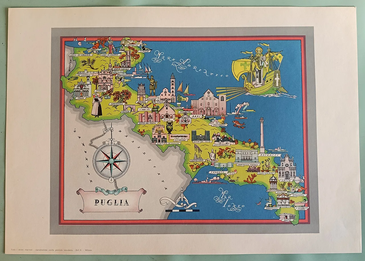
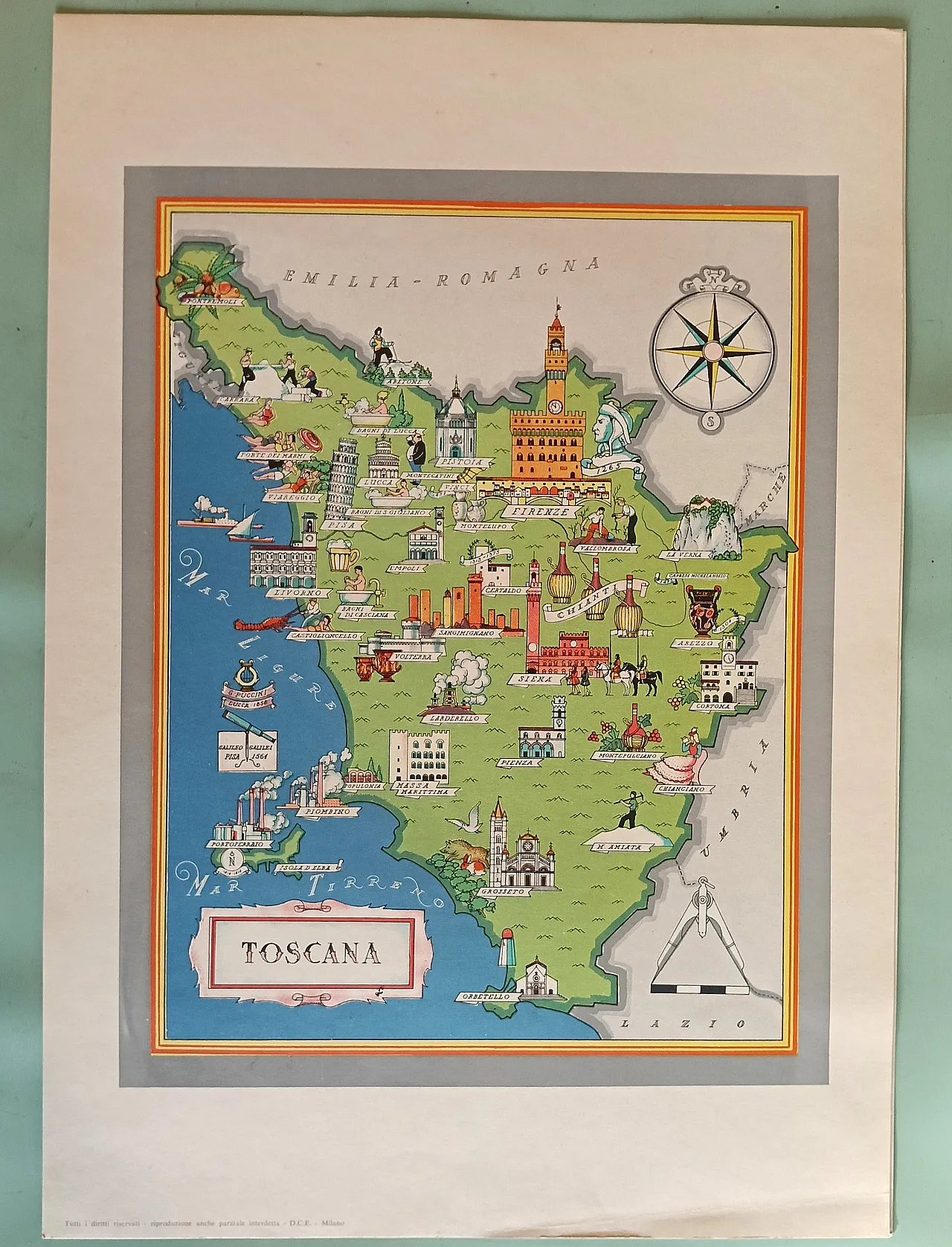
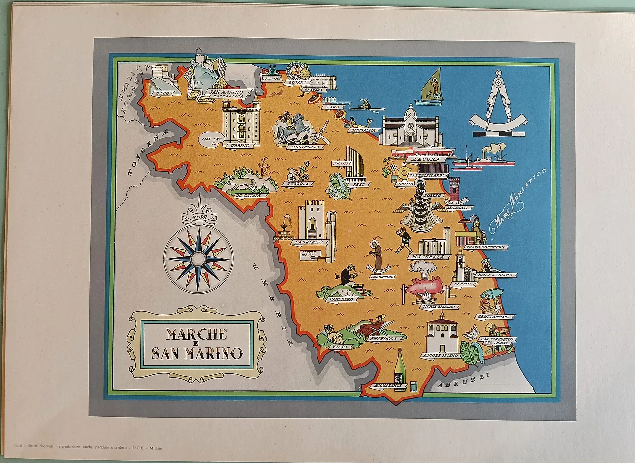
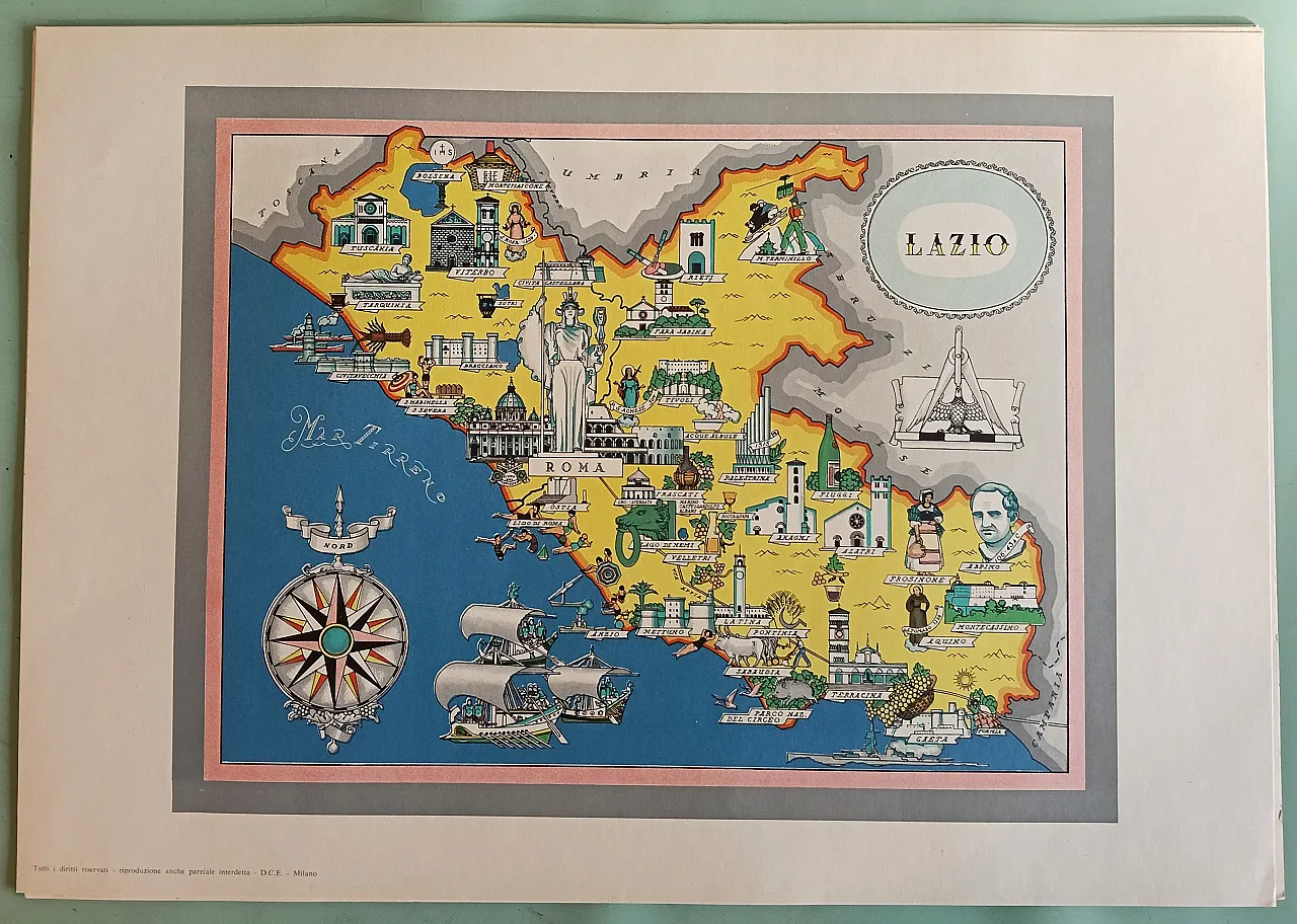
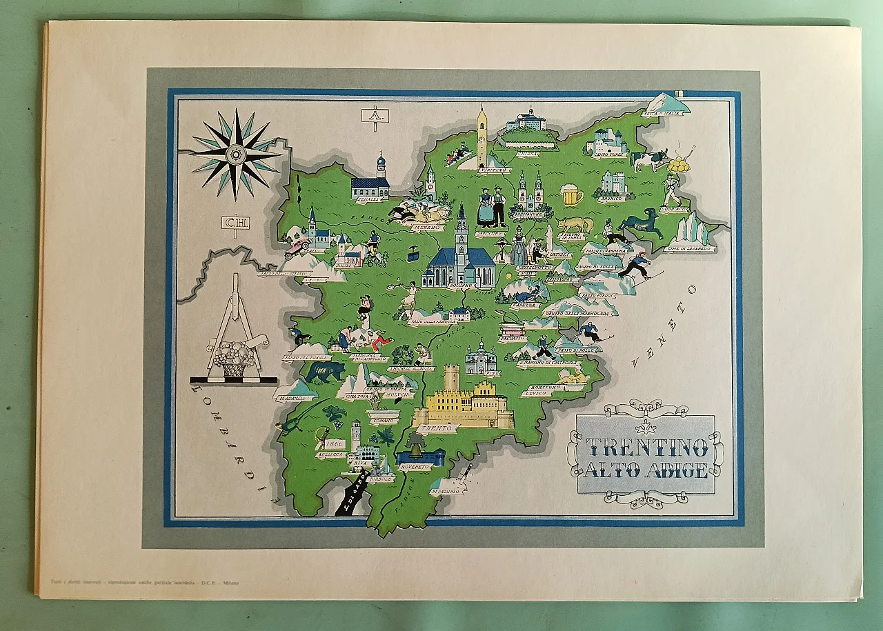
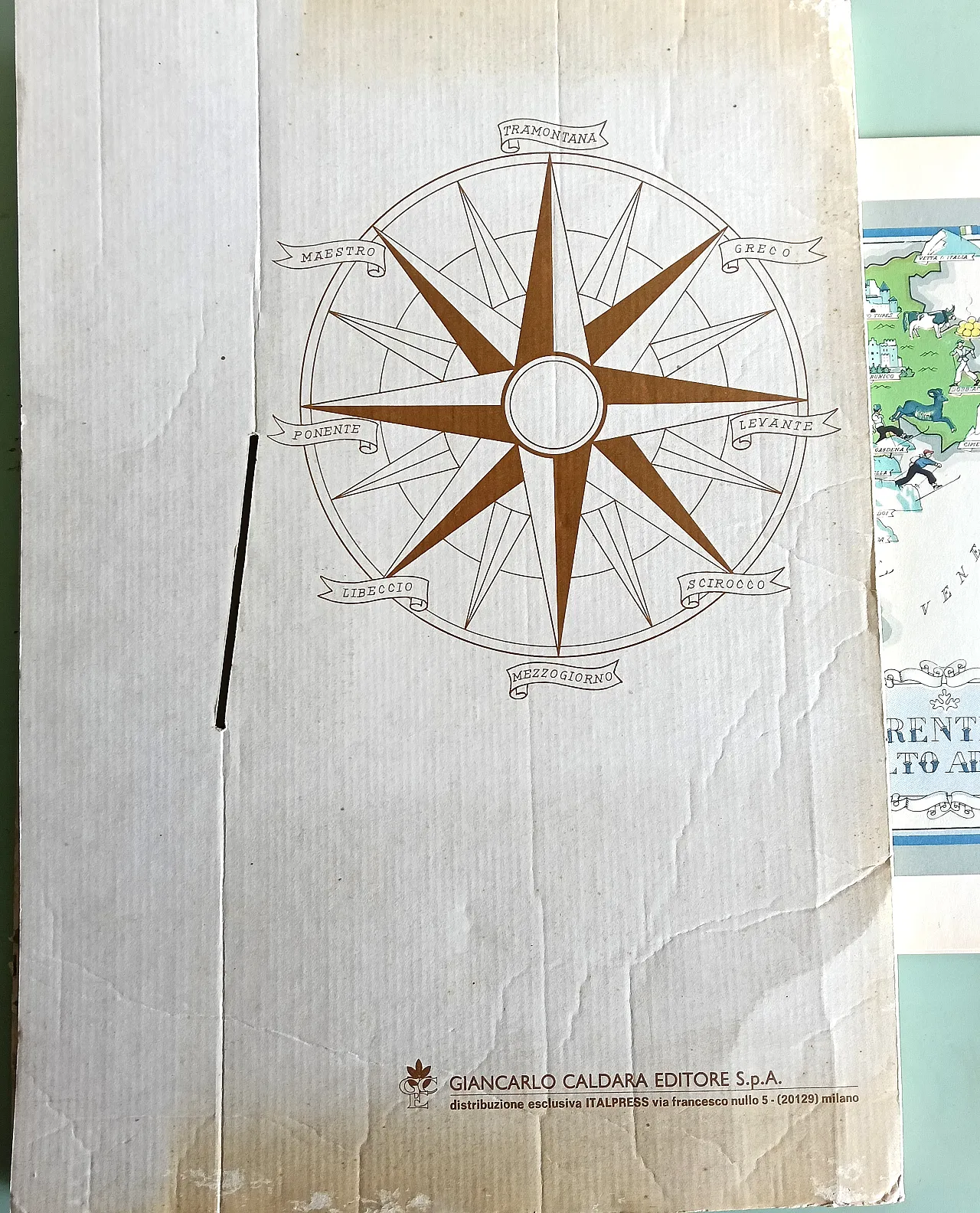
The Regions of Italy, collection of geo-pictorial maps. edited by Prof. F. Agostini. folder containing color prints of all the regions of Italy. late 1950s. Giancarlo Caldara Editore editions. Milan. the folder is ruined, but the internal graphics are new.
ID: 6860-1769183062-141131
Time period


 SILVER Seller in Parma, Italy